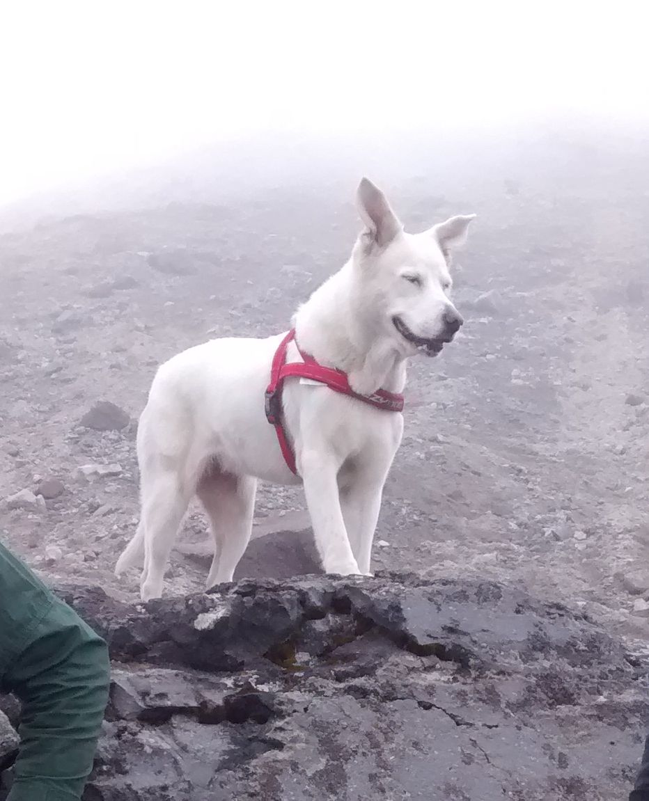
 Whether you live in Mexico City or are just visiting, you should try to make it out to see the Xinantécatl volcano, better known as the Nevado de Toluca. According to the official government site of the city of Toluca, this is the only volcano in the world where the crater can be reached by car, only in the last few years, to protect the volcano’s natural environment have they blocked off the final 2K stretch to the mouth of Xinantécatl.
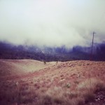
I’ve been twice now, once in April when it snowed and once this October when there was no snow, but it was briskly cold and windy. Both times it was beautiful. This last trip we started out with the idea that we would hike the entire rim of the crater (appx. a 3hr hike) but after about an hour of heavy breathing we decided we were satisfied, snapped some photos, had a moment of meditation and headed back.
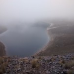
The fog is often thick, blocking views of the Sun and Moon Lakes that sit sparkling inside the crater. When the sun does come out and the clouds lift, it’s a stunning sight.
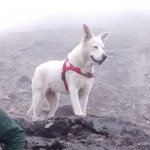
There are several trails down to the lake shores (easier than trying to hike the entire rim) and around the inside of the crater. Bring dogs, mountain bikes, walking sticks or backpacks, but don’t forget your long underwear, the higher you go up, the cooler it gets. High-altitude runners and bikers often train on the park’s trails. Nevado de Toluca, at around 14,000 feet above sea level is double the altitude of Mexico City, so take this trip after a little acclimation in town first.
To get there: Here’s where it gets a little tricky, nothing is well marked or very clear on the way to the Nevado, but a decent gps will get you there easily.
You take the Mexico-Toluca highway (15D) till it becomes just 15 near Toluca, turn left off of the highway onto Salvador Diaz Miron until you get to Av. Las Torres (go right), after a short distance on Las Torres, turn left onto Calle Laguna del Volcán, this streets veers slightly left and becomes Lanceros de Toluca, follow it until you meet route 134 and go right. This will take you all the way to route 10 (there is a sign for Nevado, and a triangle turn – to your right are several food stands along the highway), turn left onto route 10.
You will follow this along, through a small town (with lots of speedbumps) and then see a gravel road to your left that goes sharply up the mountain, take that and follow it into the park, once you have gone through the booth where you pay (20p) Immediately to your left is another gravel/dirt road that goes up to the left, follow that till you reach the parking at the top of the mountain (it is windy and full of potholes so be prepared). From Mexico it takes around 2 1/2 hours.
Make sure you stop afterwards at one of the food stand you see at the turn off for route 10 to eat some monster quesadillas and drink cinnamony, sweet café de olla.
Click here to subscribe via RSS
