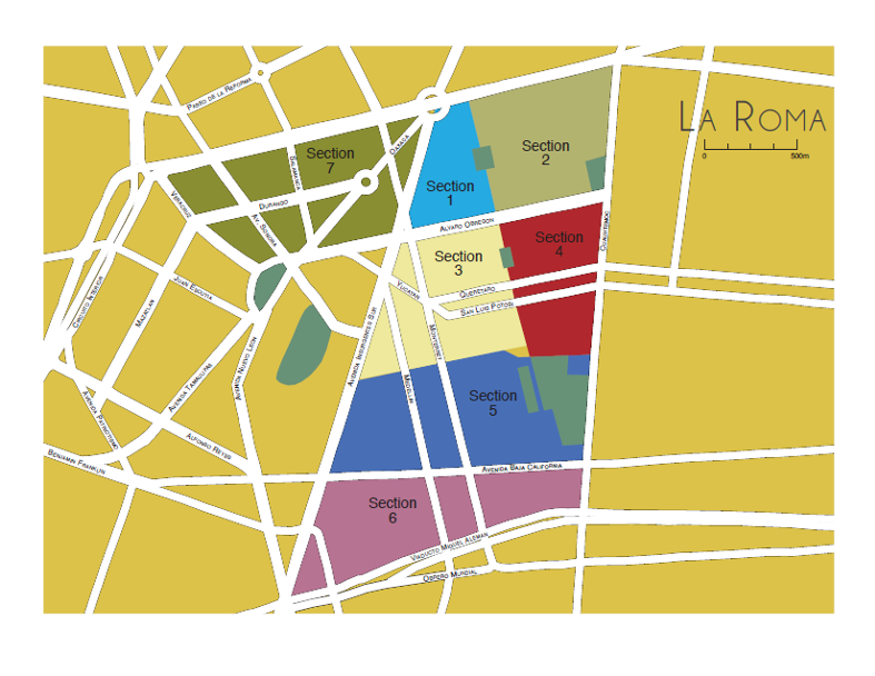
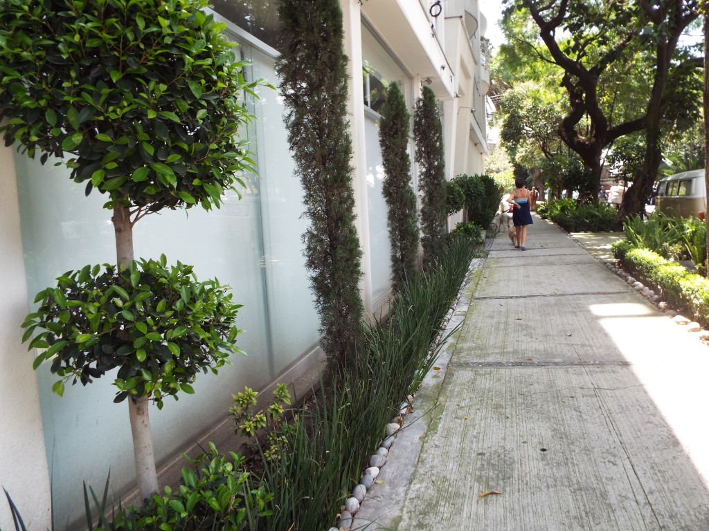
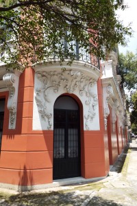
After months working on my guide to living in my neighborhood, I know that mapping La Roma is a project of mammoth proportions. I have been diligently marking down tiendas de abarrotes, drycleaners and internet places for months, in hopes that it will serve the purchasers of my guide — knowing that the closest fruit stand can sometimes change your life.
Mapping a place, even just mentally, helps us to make sense of our surroundings, of our place in the world, helps us to find order in the chaos and noise. In a place like Mexico City, with its 20+ inhabitants and hodgepodge neighborhoods, this task can serve as a way to wrap our minds around the immense metropolis that we find ourselves in.
 So this month one of our neighborhood associations, El Consejo Vecinal (COVE), and an independent research center in Mexico, The Center for Geographic and Geomatic Research (Centro GEO), have teamed up to map the entire neighborhood block by block. The project is currently underway and all the information will be uploaded and accessible to the public through a web-based google map by the 15th of March. Centro Geo is a Mexican research and education institution that applies the tools and techniques used in geographic research to social problems.
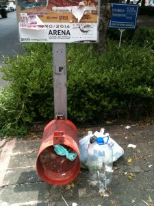
The way the project works is that teams of 10 volunteers (brigadas) are each detailing 20 of La Roma’s 322 blocks and collecting not only information about what businesses are where but also which areas are well-lit, which are slowly being overrun by trash and where pedestrian mobility is hindered.
In an effort to reduce the subjectivity of the volunteers they have been given a matrix of categories and subcategories into which to place their observations. The categories are broken down into: Commercial Establishments, Services, Real Estate, Security, Mobility and Trash.
Each category includes subcategories for easy organization (Services: Schools, Real Estate: Abandoned Lot, etc) and volunteers are encouraged to take photos of anything they feel is an exemplary version of the description. Once all of this note-taking is finished, the information will be uploaded into an online map where viewers can filter for the different categories they wish to see.
The objective, according to COVE, whose mission is to promote collaborative discussion between citizens and authorities, is to give citizens a tool for influencing public policy in their neighborhood. The map will give residents an idea of how many public parking garages there are, for instance, a number that can be cross-referenced with the amount of restaurants, to see if sufficient parking in available for the quantity of restaurants in the Roma.
 These kinds of stats touch on some very hot button issues in the Roma, Uso de suelo, zoning in English, — what kinds of businesses can be where and in what quantity — and available housing and housing prices. The mapping process will record how many new buildings and houses are going up, how many are in disrepair and how many are being renovated into galleries and restaurants. (A separate group of architects will be mapping properties according to which have been designated historical landmarks and in what condition they are in).
The mapping project’s proponents also point out the value of labeling which streets have adequate lighting, broken sidewalks, handicapped ramps — all with the idea that this information will allow residents to pressure the local city government for increased maintenance of its streets.
For good or bad the project will give a much clearer picture of what’s happening on the streets of La Roma and its residents get to choose how they want to use the information that is revealed and to what end. Click on the comment box above and leave me your thoughts about what you think about this neighborhood initiative. I’ll keep you updated as to when you can access the link online.
Click here to subscribe via RSS
